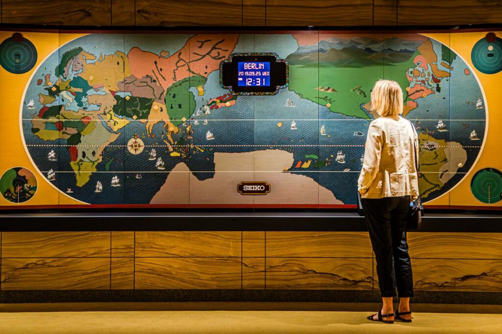
On 4 September 2026, the UN General Assembly voted 164 to 1 in favour of the ‘Correct the Map’ resolution. Six states – Estonia, Georgia, Lithuania, Moldova, Serbia and Ukraine – abstained. The resolution recommends that governments, schools, the media and technology companies use area-preserving projections such as Equal Earth for size comparisons in future, rather than the projection developed in 1569 by the Duisburg geographer Gerhard Mercator. This projection continues to dominate most digital maps to this day. The recommendation is not binding. The Mercator projection remains permitted.
Togo tabled the resolution on behalf of the African Union. The reasoning is geometrically sound: the Mercator projection enlarges areas the further they are from the equator. Africa, which lies largely near the equator, thus appears smaller than Greenland, even though, according to the French Foreign Ministry, it is almost fourteen times as large.
The US was the only country to vote against it. Its UN delegation described the resolution as a “radical ideological project” and accused the General Assembly of distracting itself from its core responsibilities. There is no statement from US President Donald Trump on the resolution itself. Nevertheless, geography professors Jack Swab and Derek Alderman from the University of Tennessee see a link to his policy on Greenland: Trump’s repeated claim that the island is “massive” in size, whilst calling for its annexation by the US, is likely influenced by the distortion of the Mercator projection, they write in an analysis for The Conversation. On Mercator maps, Greenland appears greatly enlarged due to its proximity to the Pole – almost as large as the entire African continent, which is in reality fourteen times larger.
Why we’re sticking with Google Maps anyway
For our travel atlas – the interactive world map featuring around 280 destinations from Tellerrandstories – this resolution could, at first glance, have had consequences. But that hasn’t been the case: our map continues to run on Google Maps – and Google Maps still uses the Mercator projection.
The reason lies in the technology, not in editorial decisions. Interactive map services such as Google Maps load the world in square tiles, which are reloaded as you zoom in. This method, which has been the industry standard for a decade and a half, only works with an angle-preserving projection – that is, one that accurately preserves shapes and directions, regardless of scale. This is precisely what the Mercator projection achieves. It was developed in 1569 for navigation, because a course that appears as a straight line on the map corresponds to a constant compass bearing at sea.
Area-preserving projections such as Equal Earth cannot do this. They show continents in their correct proportions, but in doing so distort shapes and angles – to varying degrees, depending on their position on the map. That is why no interactive map service currently offers an area-preserving alternative, not even providers that rely on OpenStreetMap or other tile servers. We have tried to make the area-preserving projection interactive. However, the plotted points are difficult to hit because you cannot zoom into the Equal Earth projection.
The real problem: no map can do everything at once
The debate about the Mercator projection distracts from a more fundamental problem, one that even Equal Earth does not solve: a spherical surface cannot be transferred onto a plane without distortion. Carl Friedrich Gauss proved this in the 19th century with his Theorema Egregium. Every projection must sacrifice one property: area or angular fidelity. No map can represent both accurately at the same time.
The extent to which this compromise is visible is particularly evident at the poles. In the Mercator projection, the distortion increases to immeasurable levels towards the poles; the North Pole lies mathematically at infinity and remains representable. In the Equal Earth projection, which we use for our static travel atlas, the same point appears as a short line – visible evidence that whilst the projection accurately reproduces areas, it stretches shapes near the poles.
For readers, this means there is no ‘correct’ world map, only maps serving different purposes. Mercator remains useful for navigation, a fact even recognised by the UN resolution. Equal Earth is better suited for comparing the sizes of continents. For interactive maps with a zoom function, Mercator remains the only technical option for the time being, as long as there is no area-preserving map engine with comparable zoom capability.
Our mode of operation is characterized by self-experienced, well-researched text work and professional, vivid photography. For all stories, travel impressions and photos are created in the same place. Thus, the photos complement and support what is read and carry it further.
Never miss new Tellerrand-Stories again! With the help of a feed reader, all stories about the Tellerrand (edge of the plate) can be subscribed to in real time.
... if you allow the necessary technology. What would an international travel magazine be without maps, guides to book or translations? These services only work if you have accepted the necessary cookies. To make our content even better, we occasionally get an overview of how the website is used. Your privacy is best protected by settings in your own browser. By visiting the Tellerrand Stories, you consent to the use of all the features mentioned in the privacy policy. Visiting the Tellerrand-Stories website is prohibited for those who do not consent to the use of all functionalities.
Diese Website verwendet Analysemethoden und Cookies, um Ihr Erlebnis zu verbessern, während Sie durch die Website navigieren. Von diesen werden die als notwendig eingestuften Cookies in Ihrem Browser gespeichert, da sie für das Funktionieren der grundlegenden Funktionen der Website unerlässlich sind. Wir verwenden auch Cookies von Dritten, die uns helfen zu analysieren und zu verstehen, wie Sie diese Website nutzen. Diese Cookies werden nur mit Ihrer Zustimmung in Ihrem Browser gespeichert. Sie haben auch die Möglichkeit, diese Cookies abzulehnen. Die Ablehnung einiger dieser Cookies kann jedoch Ihr Surferlebnis beeinträchtigen.
Necessary cookies are absolutely essential for the website to function properly. These cookies ensure basic functionalities and security features of the website, anonymously.
Cookie
Duration
Description
CookieConsent
0 years 7 months 16 days 1 hour
This cookie stores the user's consent state for the current domain.
cookielawinfo-checkbox-advertisement
1 year
Set by the GDPR Cookie Consent plugin, this cookie is used to record the user consent for the cookies in the "Advertisement" category .
cookielawinfo-checkbox-analytics
11 months
This cookie is set by GDPR Cookie Consent plugin. The cookie is used to store the user consent for the cookies in the category "Analytics".
cookielawinfo-checkbox-functional
11 months
The cookie is set by GDPR cookie consent to record the user consent for the cookies in the category "Functional".
cookielawinfo-checkbox-necessary
11 months
This cookie is set by GDPR Cookie Consent plugin. The cookies is used to store the user consent for the cookies in the category "Necessary".
cookielawinfo-checkbox-others
11 months
This cookie is set by GDPR Cookie Consent plugin. The cookie is used to store the user consent for the cookies in the category "Other.
cookielawinfo-checkbox-performance
11 months
This cookie is set by GDPR Cookie Consent plugin. The cookie is used to store the user consent for the cookies in the category "Performance".
CookieLawInfoConsent
1 year
Records the default button state of the corresponding category & the status of CCPA. It works only in coordination with the primary cookie.
viewed_cookie_policy
11 months
The cookie is set by the GDPR Cookie Consent plugin and is used to store whether or not user has consented to the use of cookies. It does not store any personal data.
Functional cookies help to perform certain functionalities like sharing the content of the website on social media platforms, collect feedbacks, and other third-party features.
Cookie
Duration
Description
gt_auto_switch
1 years 1 month 22 days
Ihr Rechner behält die Sprache bei, die Sie ausgewählt haben
Performance cookies are used to understand and analyze the key performance indexes of the website which helps in delivering a better user experience for the visitors.
Analytical cookies are used to understand how visitors interact with the website. These cookies help provide information on metrics the number of visitors, bounce rate, traffic source, etc.
Cookie
Duration
Description
_ga
2 years
The _ga cookie, installed by Google Analytics, calculates visitor, session and campaign data and also keeps track of site usage for the site's analytics report. The cookie stores information anonymously and assigns a randomly generated number to recognize unique visitors.
_ga_J8KQT4CD4S
2 years
This cookie is installed by Google Analytics.
_gat_gtag_UA_29204144_4
1 minute
Set by Google to distinguish users.
_gid
1 day
Installed by Google Analytics, _gid cookie stores information on how visitors use a website, while also creating an analytics report of the website's performance. Some of the data that are collected include the number of visitors, their source, and the pages they visit anonymously.
CONSENT
2 years
YouTube sets this cookie via embedded youtube-videos and registers anonymous statistical data.
srp
session
Das Cookie der VG Wort hilft die Kopierwahrscheinlichkeit unserer Texte zu ermitteln
Advertisement cookies are used to provide visitors with relevant ads and marketing campaigns. These cookies track visitors across websites and collect information to provide customized ads.