
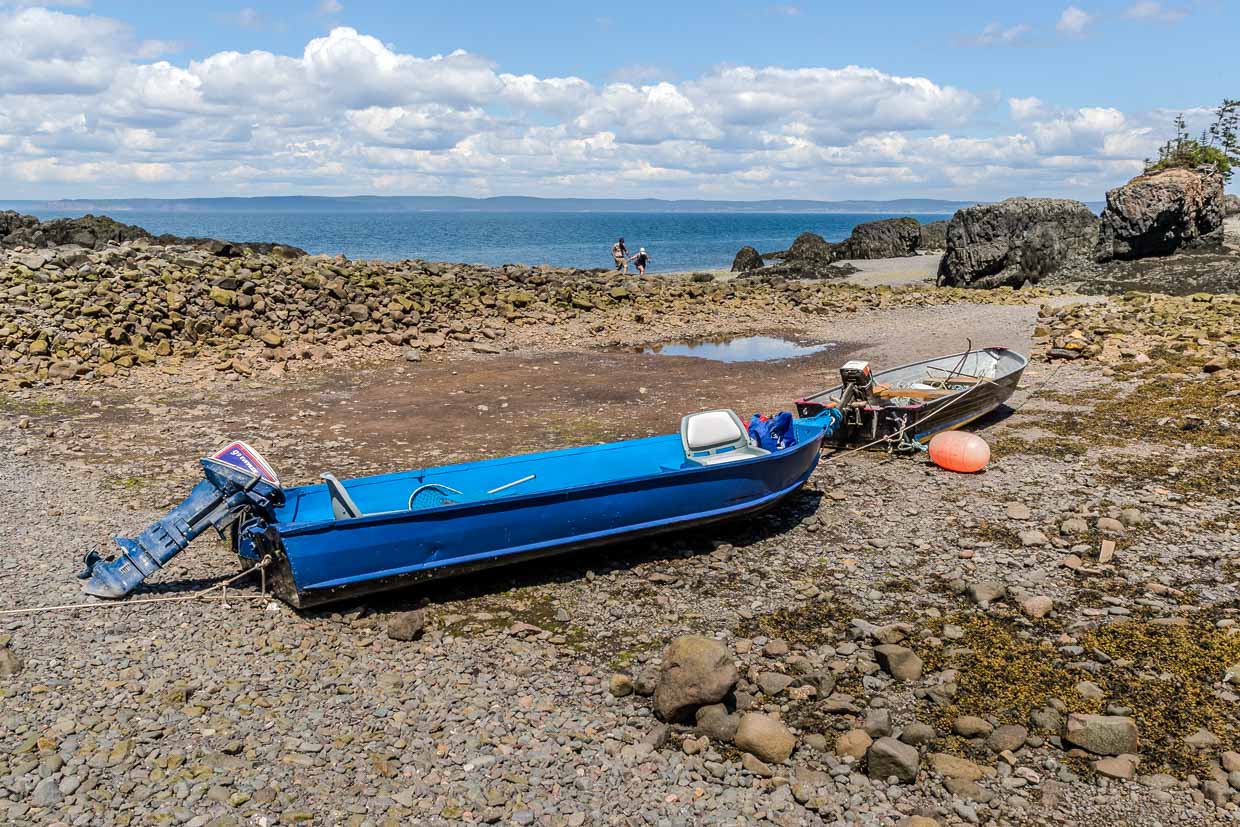
We travelled to Nova Scotia to understand the tides. The Bay of Fundy is renowned for having the highest tides in the world. At Burntcoat Head, the mean tidal range is 11.7 metres. The global average is around one metre. And there is hardly anywhere else where the difference is as easy to see as at Halls Harbour.
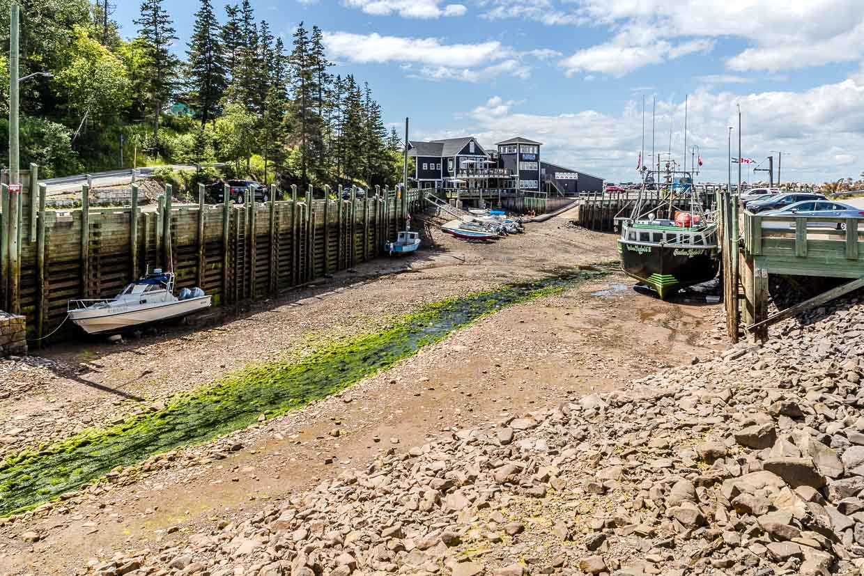
A harbour without water
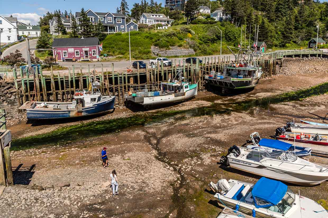
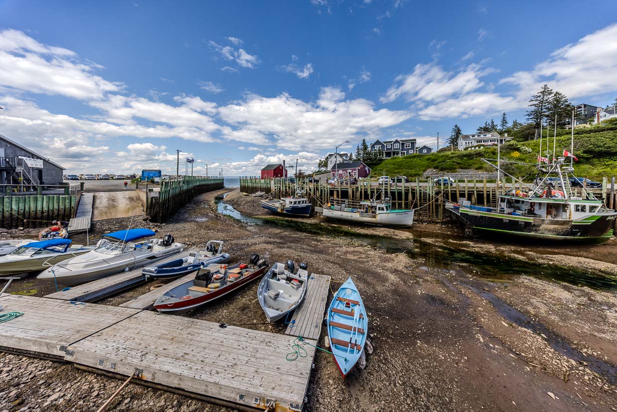
On the afternoon of 11 July 2026, we walk across the harbour floor, where the fishing boats usually float. It is just after three. For our trip, we had studied the tide tables for the coast near Baxters Harbour so that we could arrive just in time for low tide. It was forecast for 4.09 pm. Between the boats, a stream trickles through the gravel, its banks lined with green carpets of seaweed. Angela stands at the foot of the quay wall and measures its height. She looks tiny next to the wooden posts. Above her, the lobster restaurant towers over the quay.
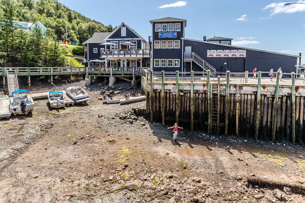
The posts as a gauge
We continue across the harbour floor. Just five hours ago, the water here was eight metres deep. The ground is silty; in the hollows, it glistens with moisture. Boats lie askew on the seabed. You can walk round them, step beneath the quay wall, touch the wood. It feels strange to stand here with dry feet, knowing that this will soon no longer be possible. In a few hours, the water will reach the quay wall again.
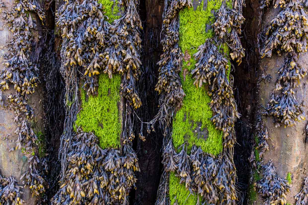
The wall’s posts are thickly overgrown. Bladderwrack hangs down in tufts, with patches of green glowing in between. Algae and seaweed only thrive whilst the tide covers them. The vegetation ends exactly where the water regularly recedes. A natural water level, as the wood is bare further up.
Six hours and twelve minutes
There are a good six hours between high and low tide – twice a day. The timekeeper is in the sky: the moon. It takes 24 hours and 50 minutes to return to the same point above the Earth. Each high tide therefore arrives about 50 minutes later than the day before. Why twice? Because two water mounds form: one beneath the moon, one on the opposite side of the Earth. The first is easy to explain – the moon attracts the water. The second is surprising: the Earth and the Moon orbit a common centre of gravity, and the centrifugal force of this orbit acts away from the Moon. On the side facing the Moon, the gravitational pull predominates; on the far side, the centrifugal force does. On both occasions, the water bulges.
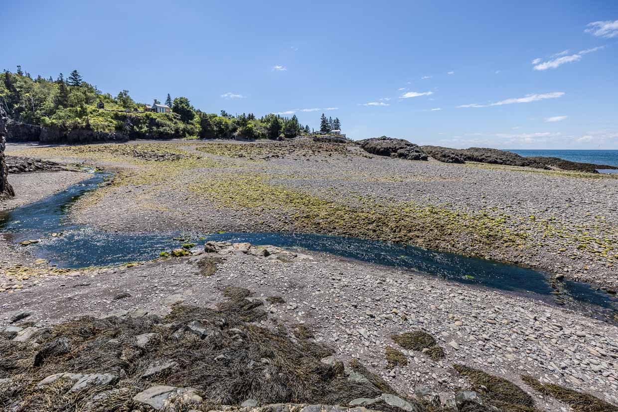
The Sun plays a part too. At new moon and full moon, the Sun, Moon and Earth are aligned, and the forces add together – this is the spring tide. At half moon, they are at right angles to one another and the forces weaken – this is the neap tide.
If the Earth were evenly covered by water, the spring tide would generate a wave of around 79 centimetres. But before us lies a harbour from which nine metres of water have drained away. The moon explains the rhythm, not the height.
Nine metres today, twelve in five days
The forecast from the Canadian Hydrographic Service for Baxters Harbour, nine kilometres to the east, illustrates just how strongly the Moon and Sun interact. On 11 July, the water level will fall by 9.1 metres. At the next high tide, it will rise by 9.9 metres. Five days later, it will be 12.5 metres. On 25 July, just 6.7 metres.
Two further cycles influence the tides. When the moon is particularly close to the Earth – at perigee – the tidal range increases. Six to eight times a year, perigee coincides with a new moon or a full moon – that is when spring tides are at their strongest.
The bay as a swing
Even the strongest spring tide alone cannot account for a twelve-metre range. For that, you need the bay. Every body of water swings of its own accord. If you nudge a bath at the right rhythm, you set the water in motion, making it rise higher and higher. If the rhythm is off, the rocking effect fails to materialise.
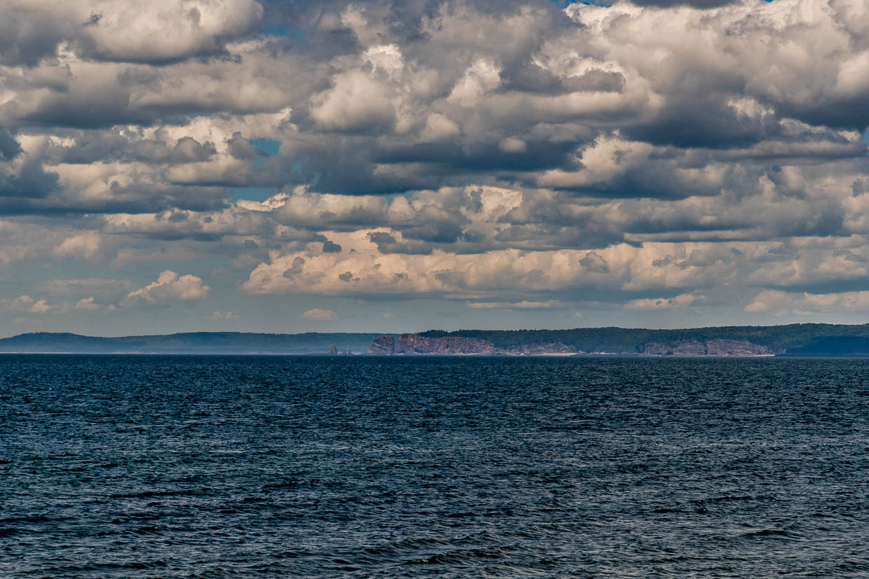
In the Bay of Fundy, it takes the water around 13 hours to flow from the entrance to the far end of the bay and back again. The Atlantic sets the system in motion in time with the lunar tide – which lasts 12 hours and 25 minutes. Both times are very close to one another. Each high tide arrives almost at the right moment and amplifies the oscillation. With every cycle, 100 to 110 billion tonnes of water flow into the bay and back out again.
Seventy kilometres, a ten-metre difference
The moon is the same everywhere in Nova Scotia, but the tides are not. In Halifax on the Atlantic coast, the mean tidal range is 1.3 metres. The tidal range rises from 1.3 metres on the open coast (Halifax) to 11.7 metres at the inner end of the bay (Burntcoat Head); in between: Yarmouth 3.3, Digby 6.4, Baxters Harbour 9.6. On the other side of the peninsula, near Pictou, it is only 0.9 metres. Halifax and Burntcoat Head are just 70 kilometres apart as the crow flies. The moon alone cannot account for this difference – it is the bay that causes it. The further the water flows into the bay, the higher it rises.
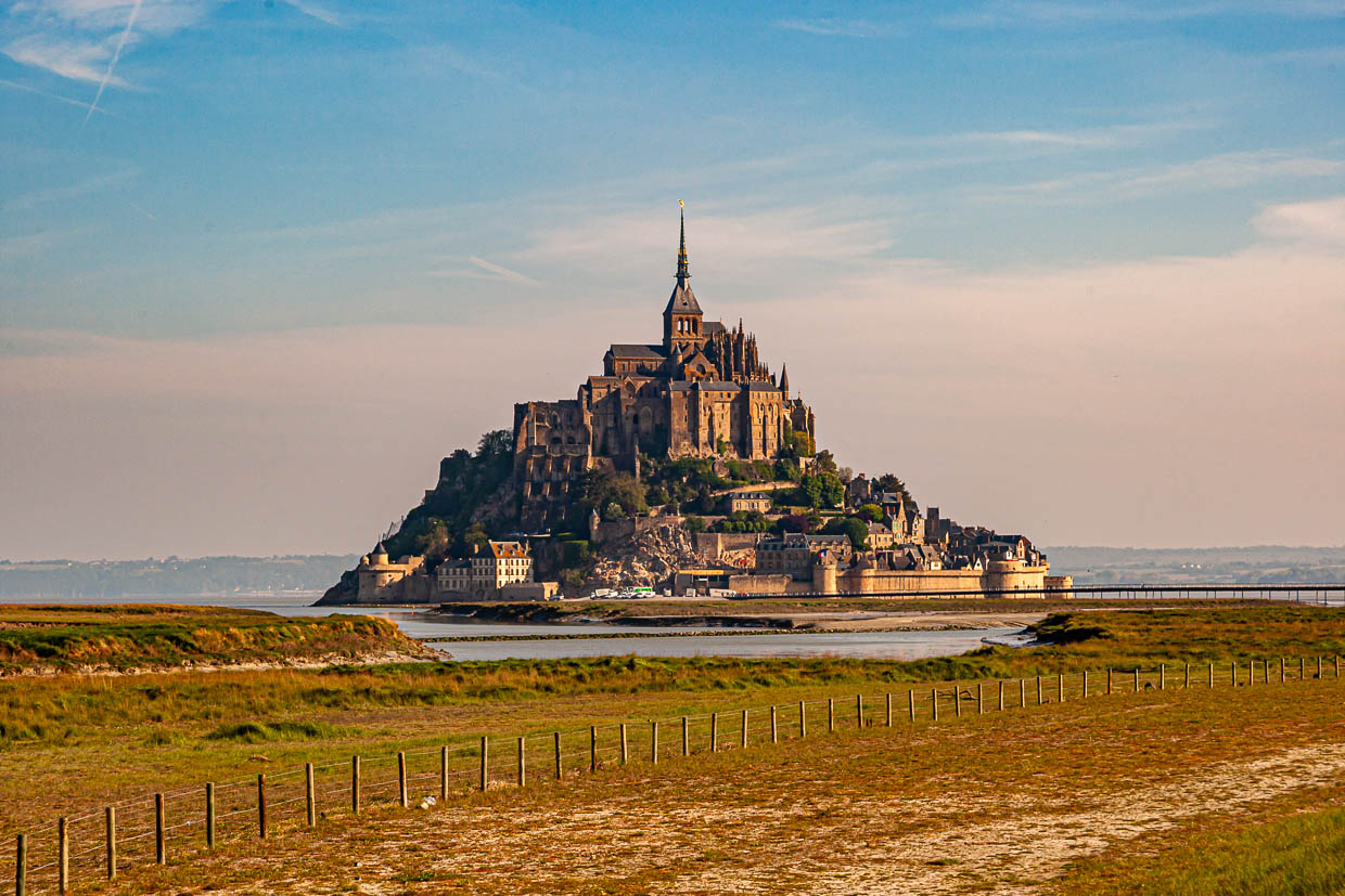
A similar phenomenon can be observed in Europe. In the bay of Mont-Saint-Michel, the water rises by up to 14 metres at spring tides, whilst on the south coast of Brittany, less than 200 kilometres away, it rises by no more than four metres.
When the tide turns
At 4.09 pm, the tide turns at Halls Harbour, as predicted by the tide table. From then on, the water rises for 6 hours and 12 minutes until it reaches its highest point again at 10.21 pm. The fishing boats, which are now sitting on the seabed, will then float again.
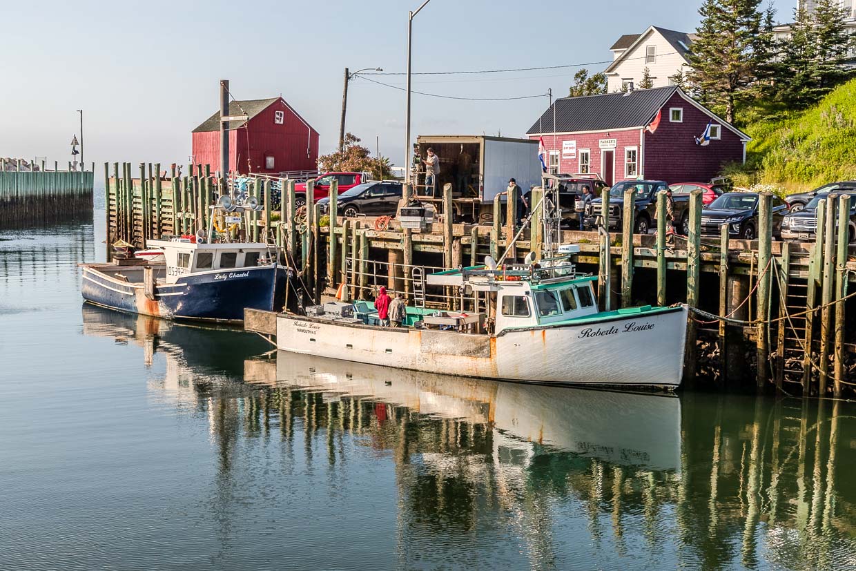
We had seen what the harbour looked like when it was full the evening before. At around 6.35 pm, the fishing boats were moored at the quay, their reflections glistening on the water. It was a good three hours after low tide and just under three hours before high tide. Between these two moments lie just under 22 hours and two ebb tides.
Lobster at high tide
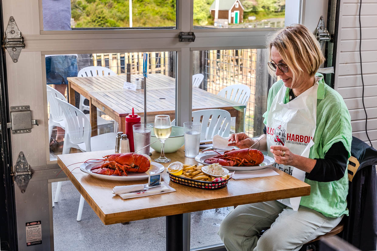
Anyone who makes the trip all the way to Halls Harbour should combine watching the tides with a visit to the Halls Harbour Lobster Pound restaurant . In good weather, you can sit there overlooking the harbour and watch as the harbour basin slowly fills or empties. The best dish here is a whole lobster, which you select by weight from a tank. But be warned: as soon as the bright red lobster is in front of you, cracking open and dismantling the shell and claws requires your full concentration!
More about Nova Scotia
If you want to know how the Mi’kmaq, Acadians, Scots and Black Loyalists shaped modern-day Nova Scotia, read The Settlers of Nova Scotia. From Birchtown to Freetown explains why families set off for Africa in 1792. Bagpipes, fiddles and Gaelic brought the Scottish settlers to Cape Breton. Anyone wishing to understand the twelve-metre tide of the Bay of Fundy should read Extreme Tides in Nova Scotia. Lobster was once a poor man’s food; today, the lobster roll is a national symbol. If you want to experience the catch, join a night shift: Lobster Fishing in Nova Scotia shows what stock conservation means. Canada is also the land of maple syrup. Most of it comes from Quebec, but Nova Scotia also taps sugar maple trees. In Halifax, the provincial capital, there’s plenty on offer. The culinary guide to Halifax points you towards the best places to eat. But the city has more to offer. The sightseeing guide ranges from the 7 Virtues perfume workshop to the immigration tour at the Pier 21 Immigration Museum. Halifax has also been the scene of tragedies. Following the sinking of the Titanic in 1912, many of the victims were brought here. Their graves at Fairview Lawn Cemetery serve as a reminder of this. Anyone wishing to explore the heavens should visit the Deep Sky Eye Observatory – North America’s first Starlight destination. Stargazing at sea level? Don’t forget your mosquito repellent!
This feature was supported by Visit Nova Scotia


