
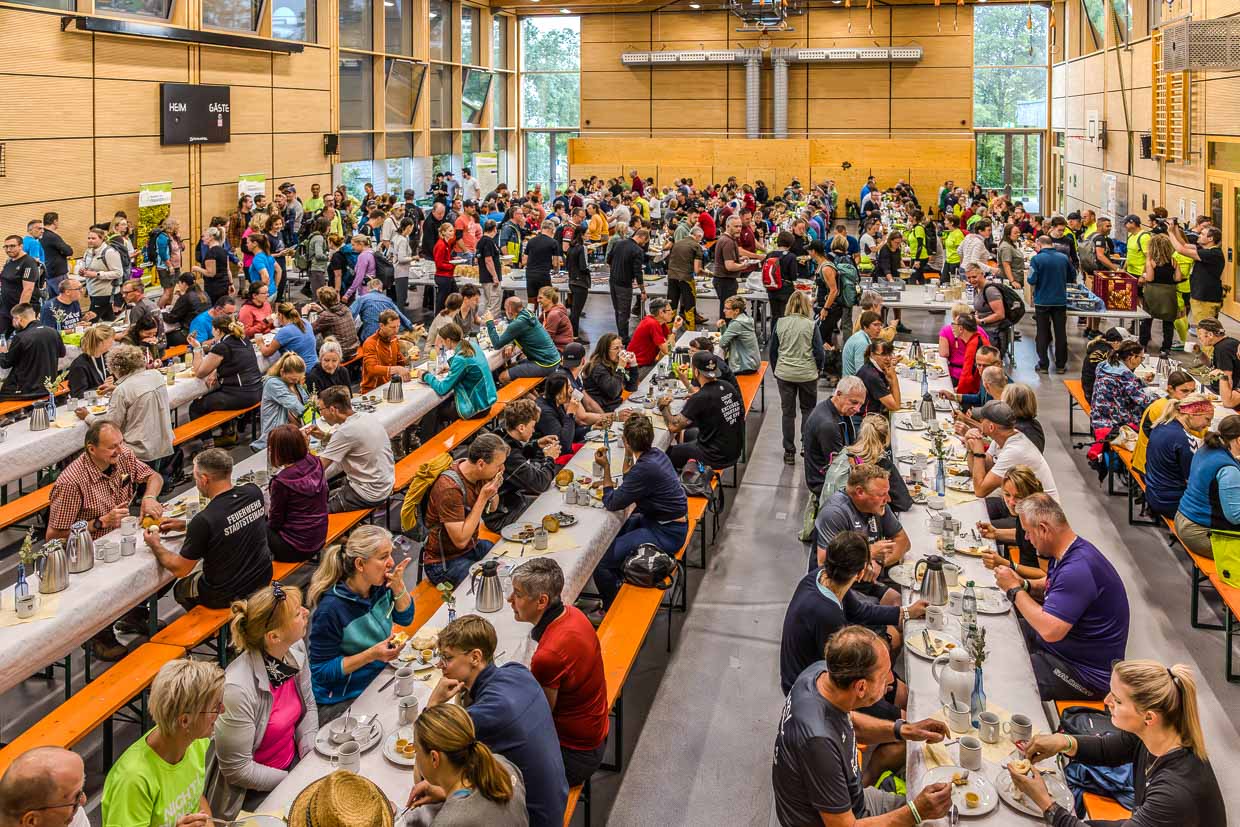
On the morning of 30 May 2026, motorhomes and camper vans crowd in front of the Rennsteighalle in Steinbach am Wald. Inside, it smells of coffee and fresh bread. Hundreds of hikers sit at long rows of tables in the sports hall and fortify themselves for the 43 kilometres and just over 1,000 metres of altitude that lie ahead.
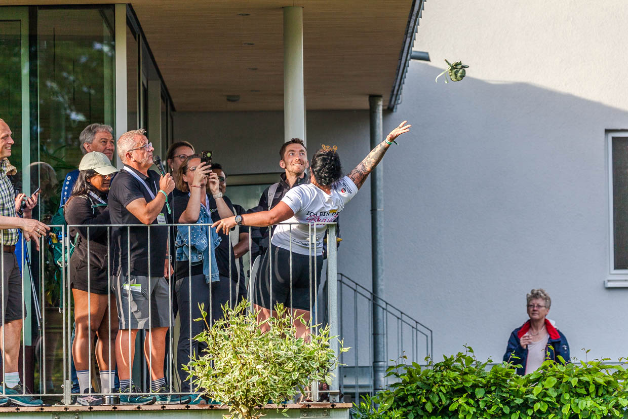
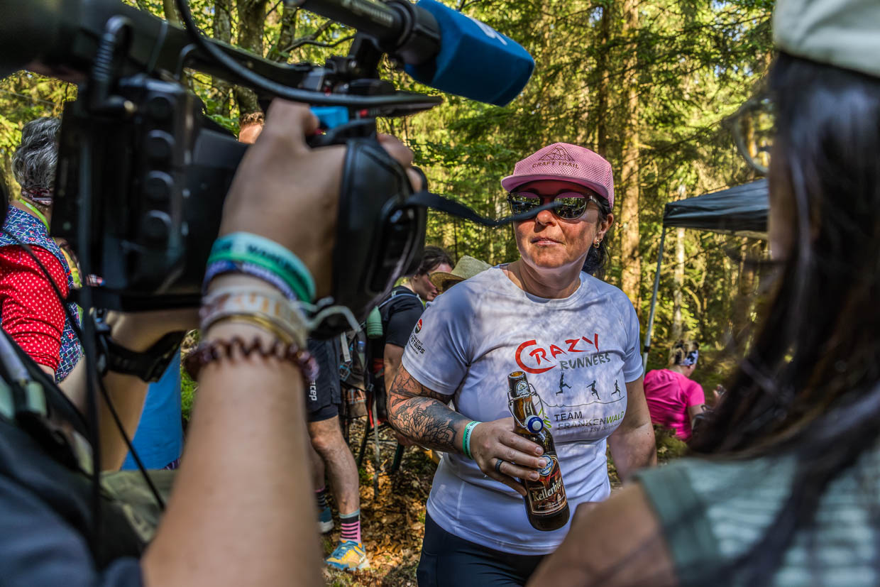
Shortly before the start at 7 a.m., a scene on the balcony causes a stir. A young woman in a white T-shirt labelled “Crazy Runners” turns round, closes her eyes and throws a bridal bouquet into the crowd. Christine, who got married the previous evening in the Rothenkirchen natural swimming pool, starts her first day as a wife with a marathon through the Franconian Forest. Her husband Johannes laughs beside her. An unmarried woman catches the bouquet – whether she will be at the starting line with a groom next year remains to be seen.
Cult event with 555 starting places
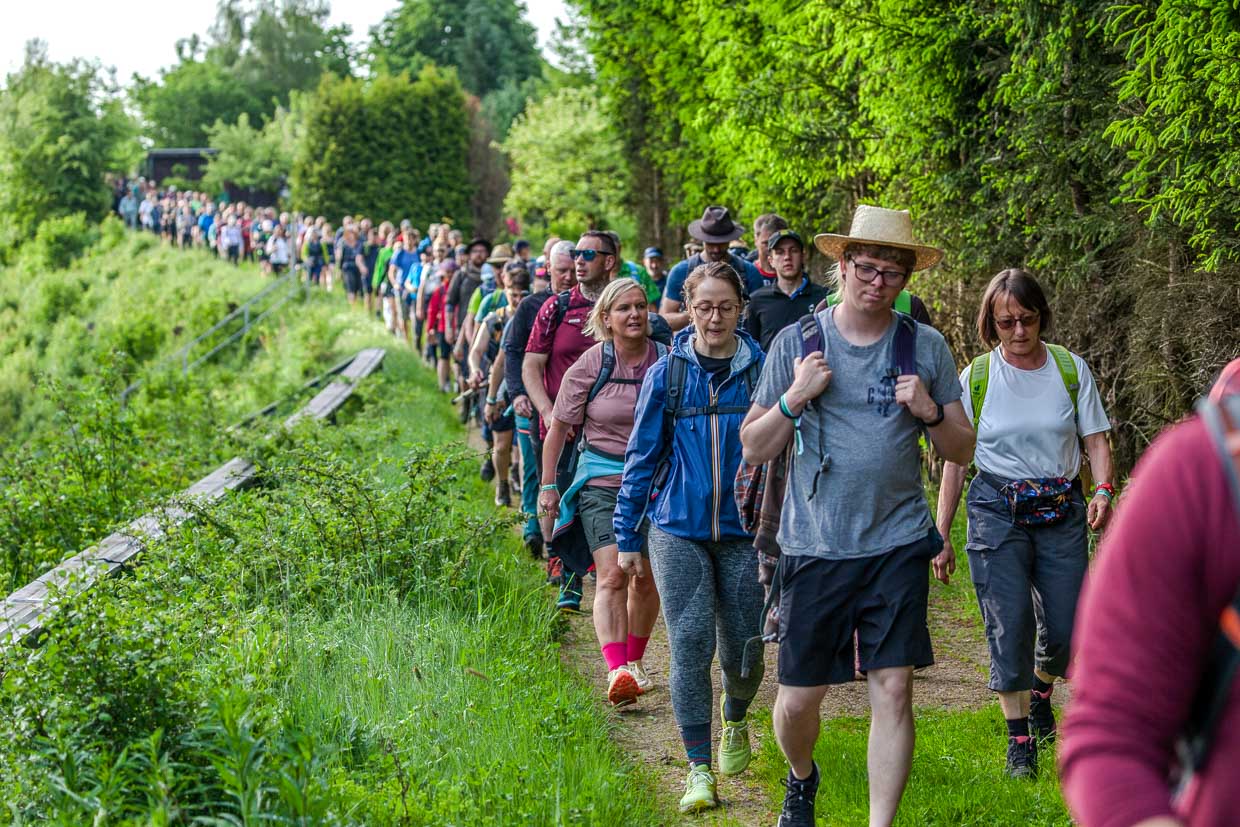
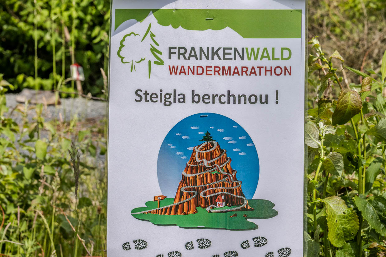
The Frankenwald Hiking Marathon has enjoyed cult status in the German hiking scene since 2012. A different municipality organises the event every year. The 555 starting places, which are allocated in three sales rounds at the beginning of February, are highly coveted. They are often sold out in seconds. Those who get a place are part of a community that seeks peace and quiet along the way and has previously fought for the ticket.
The forest tells the story
Attentive hikers read a second story in the landscape. The forest opens up in several places: bare slopes, lined with tree stumps, in between tender young growth in rank and file. The bark beetle has done a great job in recent years. Drought, storms and pest infestations have particularly affected the spruce monocultures. Bavarian state forests and private forest owners are clearing the damaged wood and planting a more resistant mix of tree species.
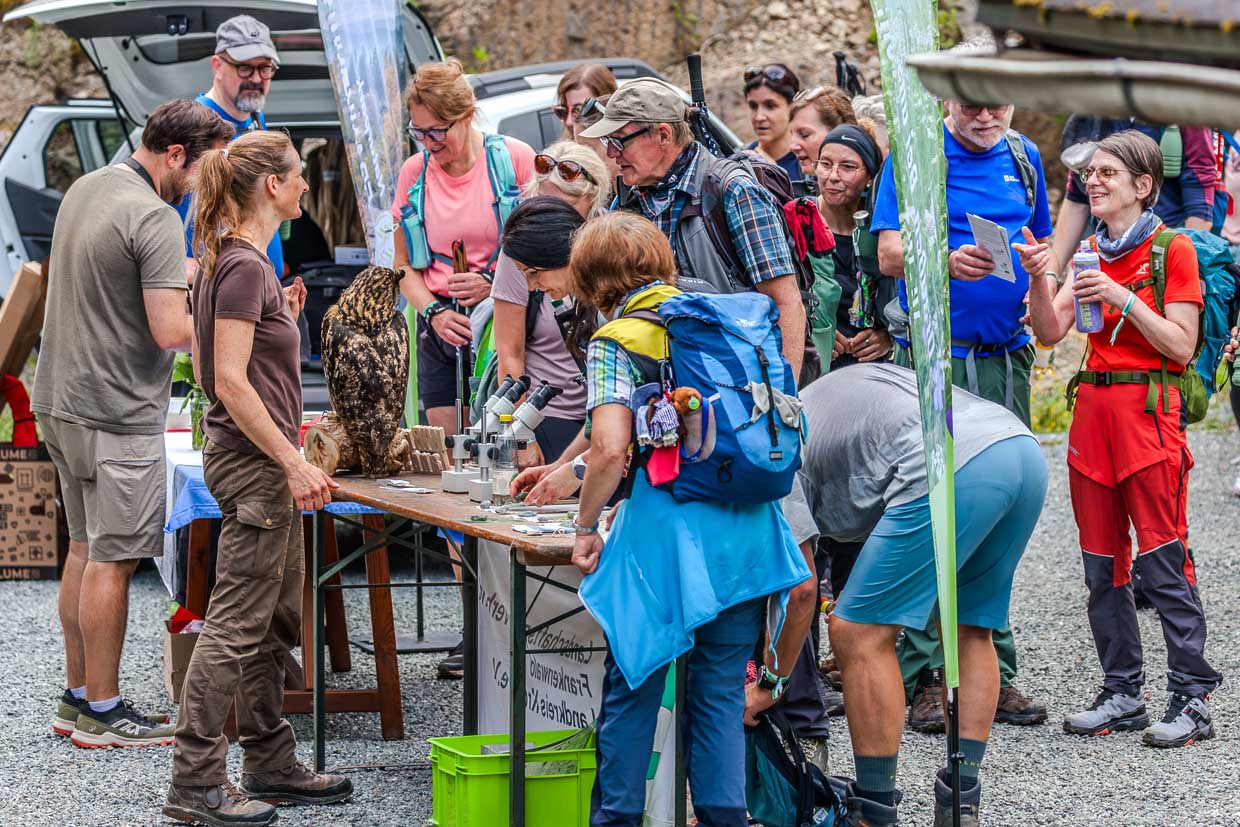
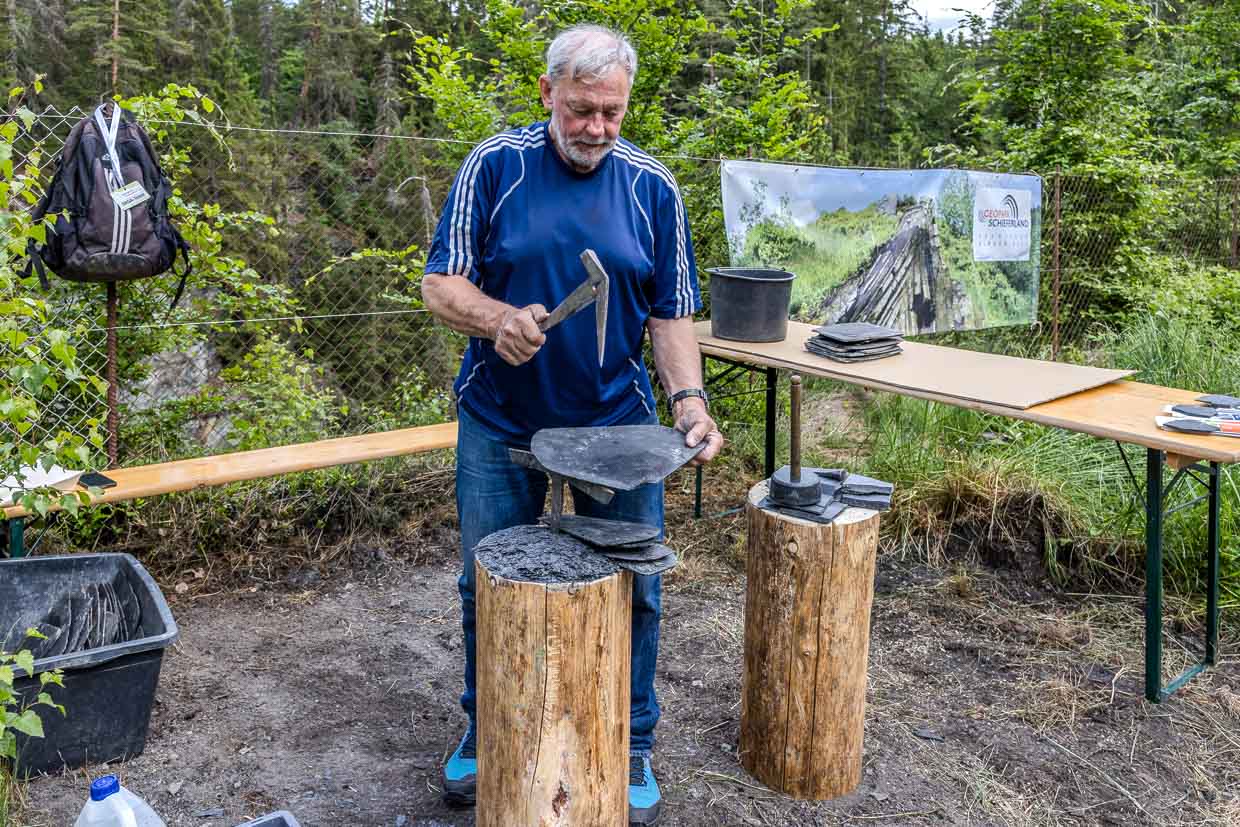
A station along the route tells of the slate mining that characterised the region. Slate was mined in Lichtenfels and the surrounding area for centuries. Even today, spoil tips and old tunnel entrances bear witness to this. If you take your time, you will discover that the Franconian Forest not only harbours nature, but also industrial history – hidden under moss and ferns.
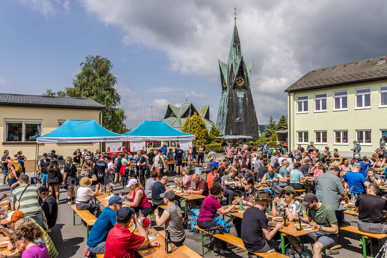
Lunch and a cathedral in the forest
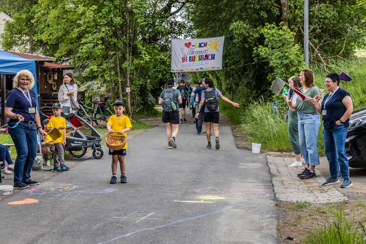
A break awaits at kilometre 19.5 in Buchbach. Volunteers ladle out hot soup from large pots and the aroma wafts through the village centre. For a moment, the marathon becomes a village festival. The legs ache, but the hikers ignore them.
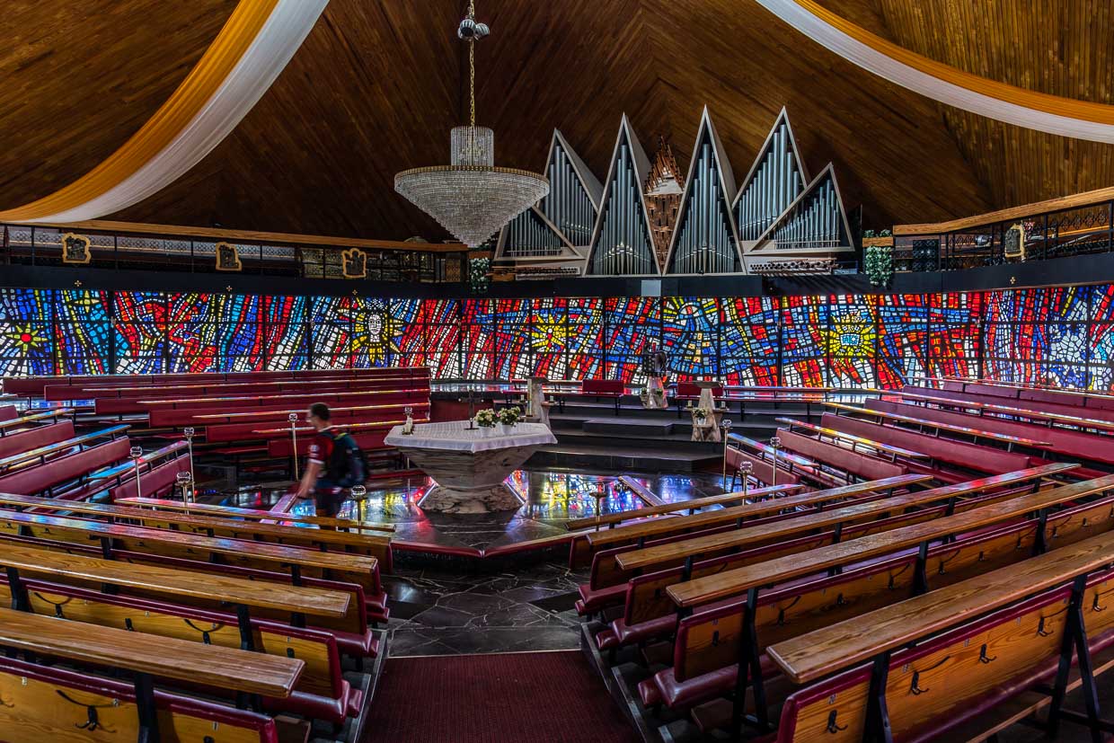
Next to the refreshment station is a building that is surprising in a village: the Catholic parish church of St Laurentius, known as the “Cathedral of the Franconian Forest”. The hexagonal central building with its pyramid roof and jagged dormers symbolises Christ’s crown of thorns. The 33 metre high tower is reminiscent of a coniferous tree. Darmstadt architect Gerhard Mantke designed the church and the parishioners contributed 40,000 hours of voluntary labour. With its copper cladding, which has oxidised green over the years, the church looks like a foreign body – and at the same time like a homage to the densely wooded region.
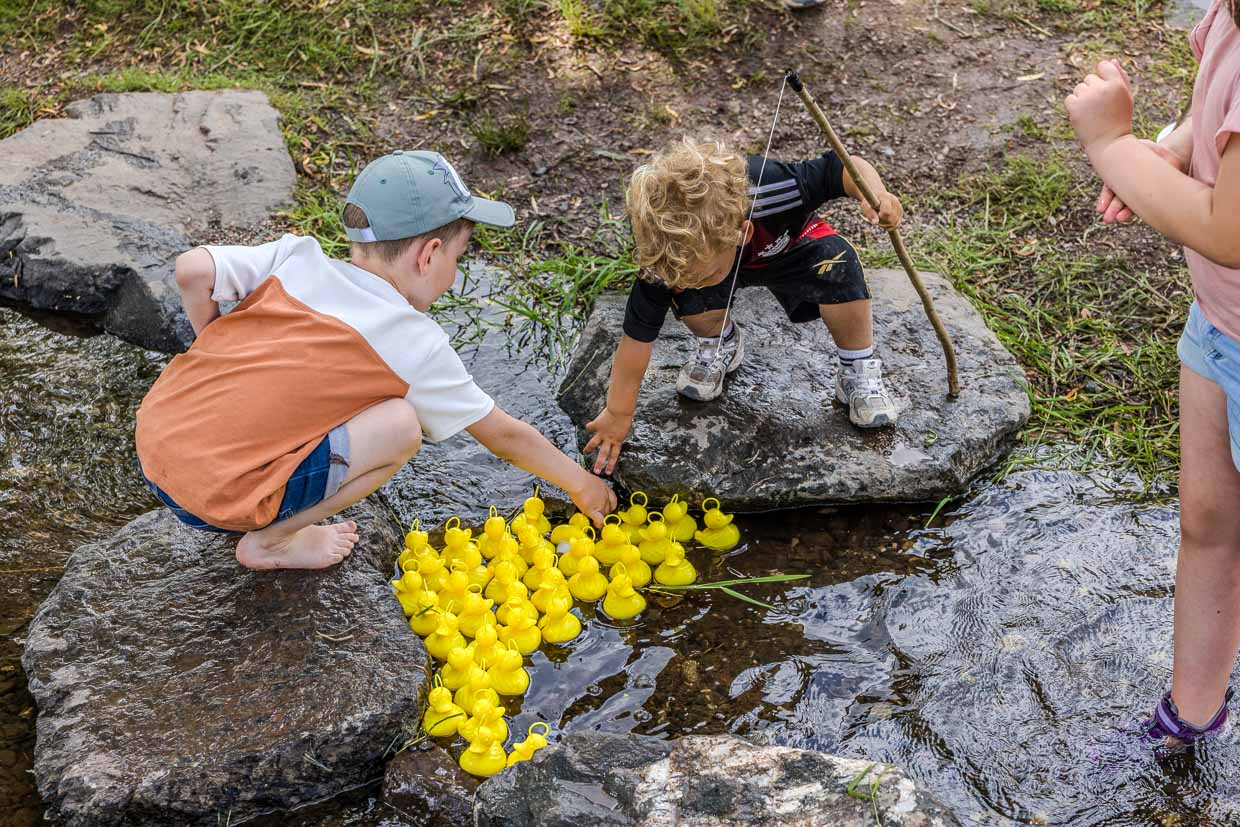
Duck fishing, reinterpreted
Not every station is about history or ecology. At a stream halfway along the route, hikers were supposed to play duck fishing – a children’s game in which plastic ducks are fished out of the water. However, children who had been watching the set-up hid the ducks in the stream before the start. The adults stood perplexed in front of the empty pool while giggles came from the bushes.
Moments like this are what make the hiking marathon so special. Clubs, families, fire brigades and local businesses organise the stations – sometimes elaborate, sometimes simple, but always with the aim of bringing joy to the hikers. Those who run here not only experience nature, but also the social life of a region that puts itself on the line for a day.
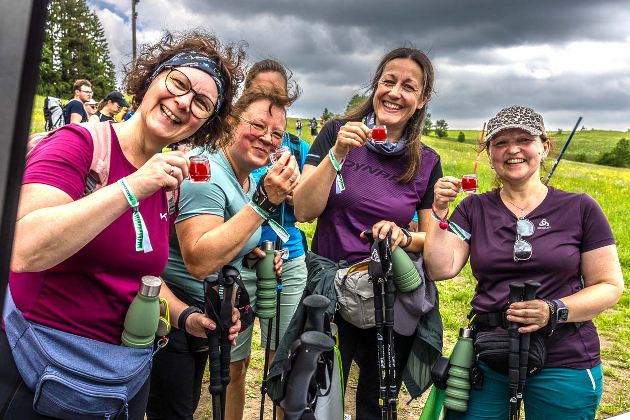
Watch out! Franconian forest women
At the Dammbachsleite, at kilometre 36, the Frankenwaldweiber from Heislaberg take over. Wearing smock aprons and headscarves, they serve beer, schnapps and “Wärscht” and sing their own song. The refrain “ritschibi” inevitably gets stuck in your head after three verses.
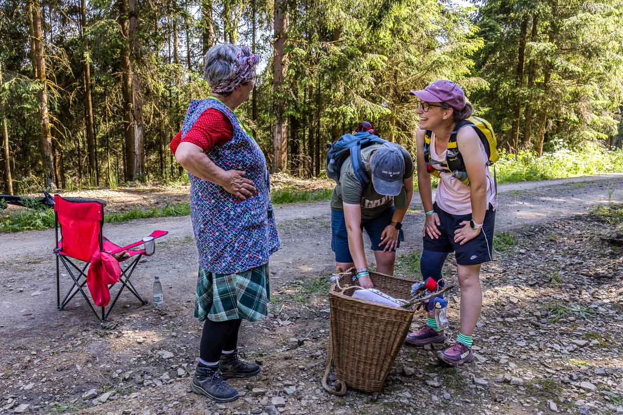
A song sheet hangs from a tree. This station is not an improvised refreshment stop, but an institution. Experienced hikers announce it as a highlight within the first few kilometres.
The mountain is calling
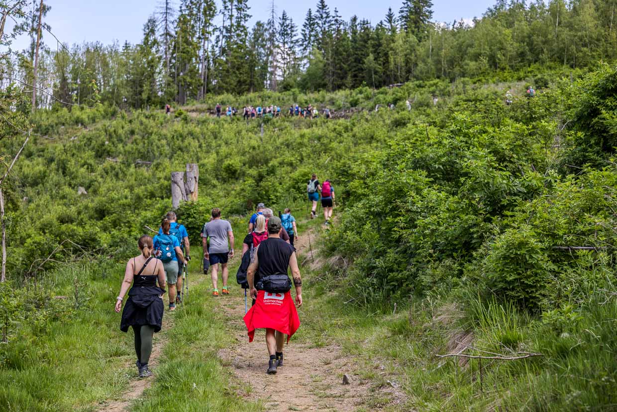
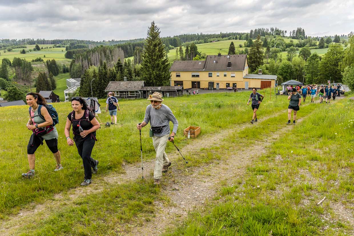
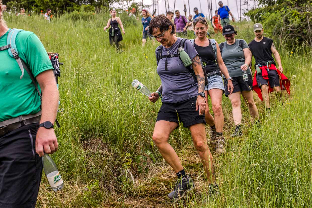
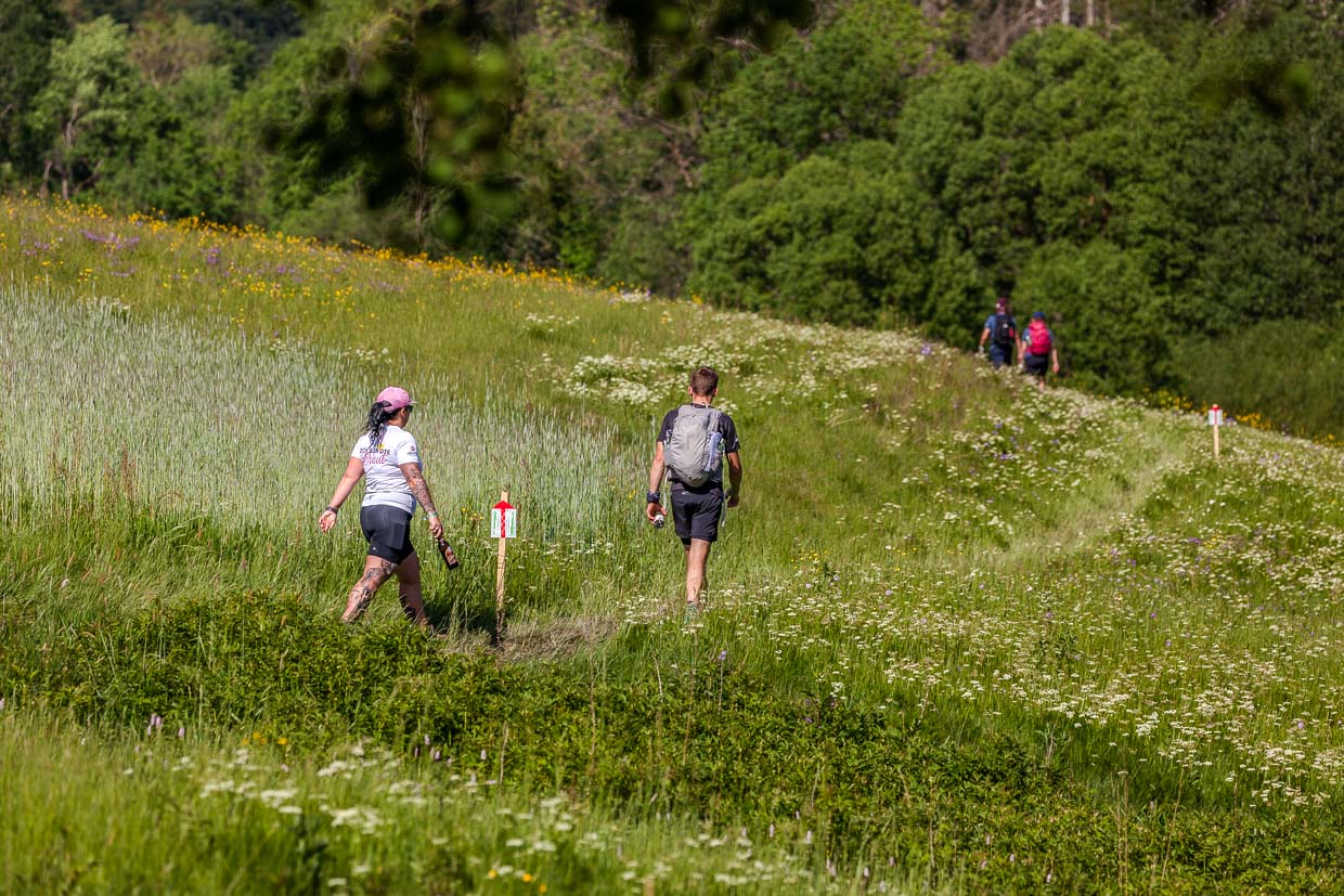
In the end, it’s the body that counts. 1,000 metres in altitude sounds doable, but after the seventh climb it feels different. The Franconian Forest is not a high mountain range, but it is not flat terrain either: the paths alternate between forest tracks, meadow paths and steep climbs. The ground varies from firm soil to soft moss and stream crossings.
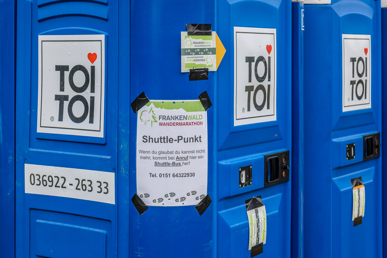
If you can’t go any further, call the shuttle bus. Signs at several points point to the free lift. This is not a defeat, but part of the logistics. Some get on the bus after 30 kilometres, others walk the full 43 kilometres. Both are correct.
The wedding couple manage the entire route together. When I last see them, somewhere on a blooming mountain meadow just before Steinbach, Christine has packed away her hiking poles.
What the map shows
The infographic with GPS track, elevation profile and pace curve visualises the route, which feels different in your legs than on paper. The start in Steinbach am Wald is 620 metres above sea level. The route initially descends into the Haßlach valley to 470 metres before climbing steadily to 712 metres – the highest point on the Rennsteig, the historic watershed between Bavaria and Thuringia at kilometre 13. It then descends in waves to 416 metres, the lowest point at the raft pond south of Rothenkirchen. The last 13 kilometres lead continuously uphill back to Steinbach.
My Apple Watch measures 45.01 kilometres and 1,142 metres in altitude – three kilometres more than officially stated. A difference that I can explain with professional detours for photos.
The research was supported by the Frankenwald Tourism Service Centre in Kronach, where you can also find all the information about the next hiking marathon.