Waves, wind and a lake as big as an ocean. In Sleeping Bear National Park, near Traverse City, it is particularly easy to observe the force with which the largest lake in the USA changes the coastal landscape. On the northwest coast of Michigan’s southern peninsula, a dune landscape with steep sandy mountains sloping down to the lake has been created. The islands of South Manitou and North Manitou lie off the coast and there are countless shipwrecks at the bottom of the Manitou Passage. The coast is also dotted with lighthouses. The microclimate of the lake around the town of Traverse City ensures that the best sour cherries in the USA grow here and that viticulture is also successful in this region. To this day, the names of bays, towns and lakes indicate that the area was of great importance to the First Nations. Sleeping Bear National Park is the homeland of the indigenous Odawa and Ojibwe tribes. The legend of the Sleeping Bear is a traditional tale of the Anishinabe tribe, which today is the largest indigenous ethnic group in North America.
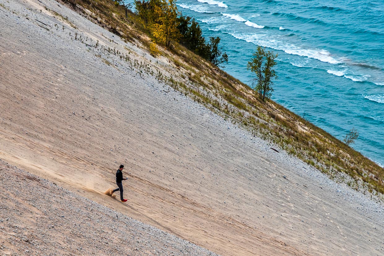
No child’s play: dune climbing in the national park
The dunes in Sleeping Bear National Park are no sandbox playground. Especially in summer, many visitors underestimate the effort it takes to reach the lakeshore. The path down to the shimmering blue water is steeper and longer than expected, the sand deeper and the sun hotter than expected. The conditions are desert-like. If the way down to the lake was already exhausting, the way up is even more so. Without water and only moderately fit, many a tourist had to be rescued from the dunes. The rescue costs now have to be borne by the tourists themselves. Warning signs point out the dangers and the rescue costs of 3,000 dollars. The Dune Climb is still very popular. But as the warning sign says. The only way is up!
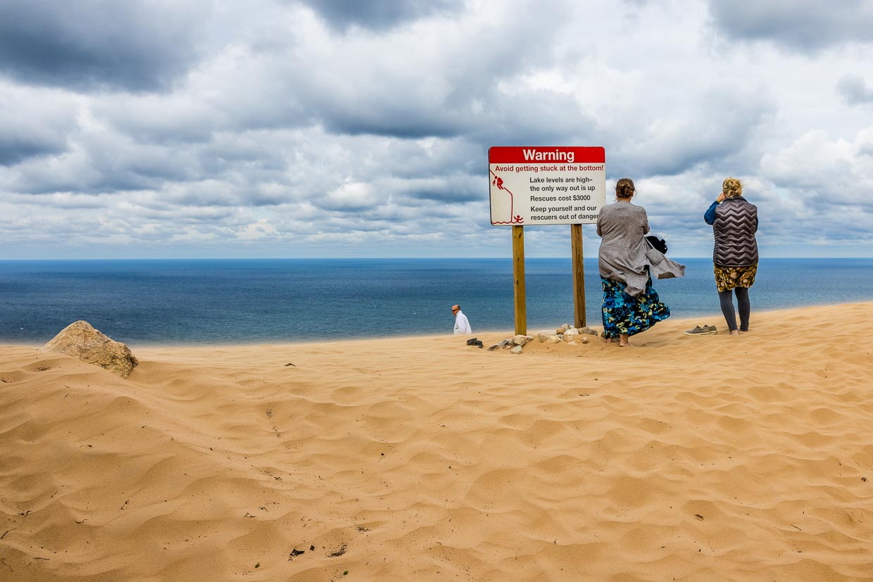
A mix of dunes, beach and forest
Sleeping Bear Dunes National Lakeshore is located on the northwest coast of Michigan’s southern peninsula. It is a hilly landscape framed by large sand dunes with many small lakes in the middle. The dense forests of birch and maple trees glow red in the fall. Rugged bluffs that rise up to 140 meters above Lake Michigan offer great viewpoints of the lake and the two Manitou Islands. If you stay longer in the area, you can go on extended hikes, bike rides along old trails and visit places like Glen Haven and Glen Arbor, which were once important for the timber trade. Sport fishing, canoeing and cross-country skiing are other recreational activities in the region. Vacationers with less time should definitely drive the Pierce Stocking Scenic Drive. The road has 12 stops with promising names such as Changes Over Time or Sleeping Bear Overlook.
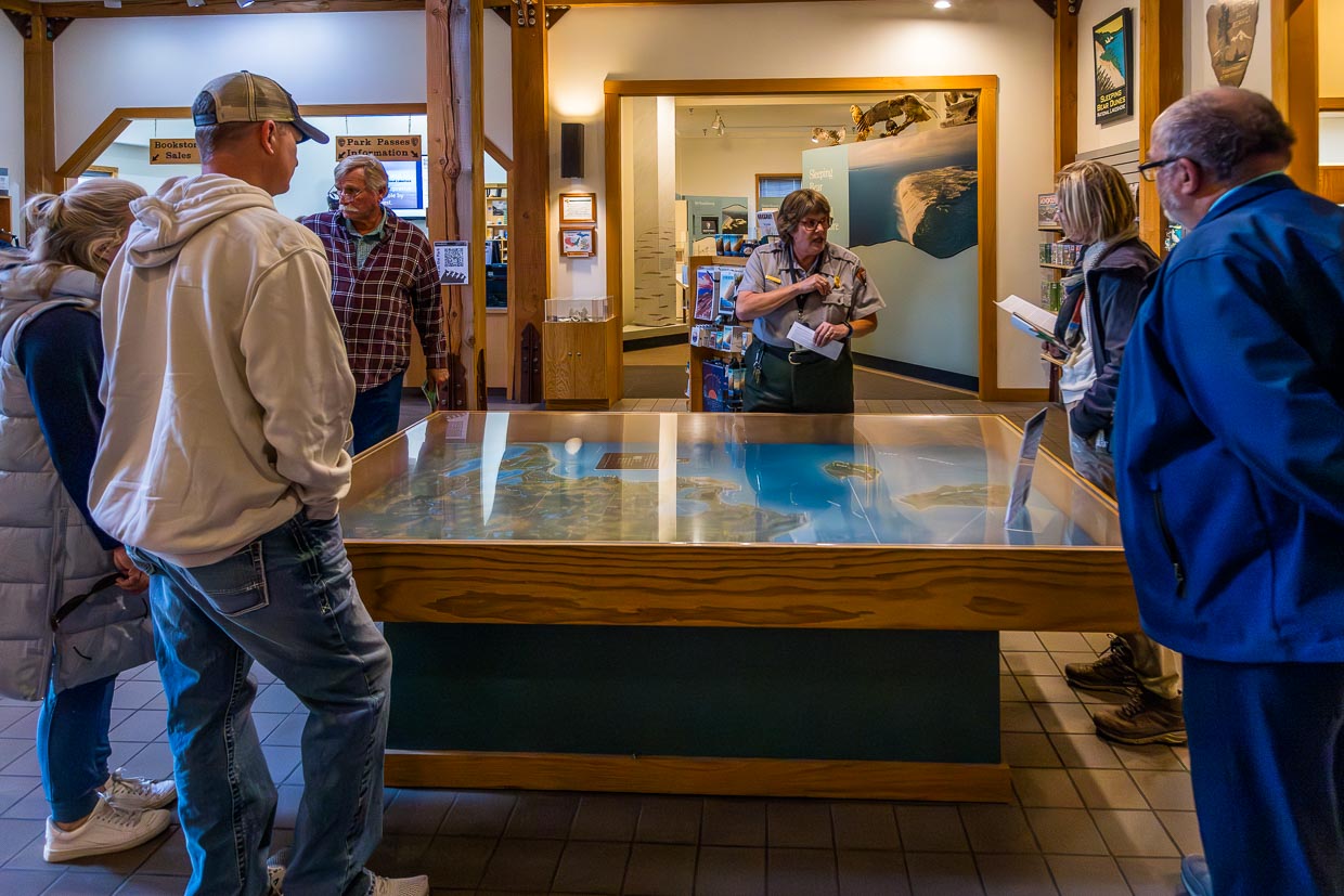
The dune landscape was formed after the last ice age. The glaciers left behind ideal conditions for the formation of dunes. The wind, which usually comes from the west, drives the sand onto the coast. The Sleeping Bear dune lies on a plateau. Glacial sands and the westerly wind continuously change the coastline. The humpbacked sit-on dune in the shape of a sleeping bear is barely recognizable as such and soon the only story to be told is that of the mother bear who, exhausted, reached the shore and climbed onto the mound to wait for her two cubs. However, the bear cubs drowned and were transformed into the two offshore Manitou Islands. According to legend, the bear is still waiting for her offspring today. This and much more information about the nature and settlement history of the region is available at the visitor center of Sleeping Bear National Park. A vehicle pass is required to visit the Sleeping Bear Dunes. The pass costs 25 dollars and can be purchased at the Phillip A. Hart Visitor Center, at the Dune Climb, at Pierce Stocking Scenic Drive and at The Homestead. Proceeds from the sale are used for the maintenance of the Sleeping Bear Dunes.
Leelanau Peninsula
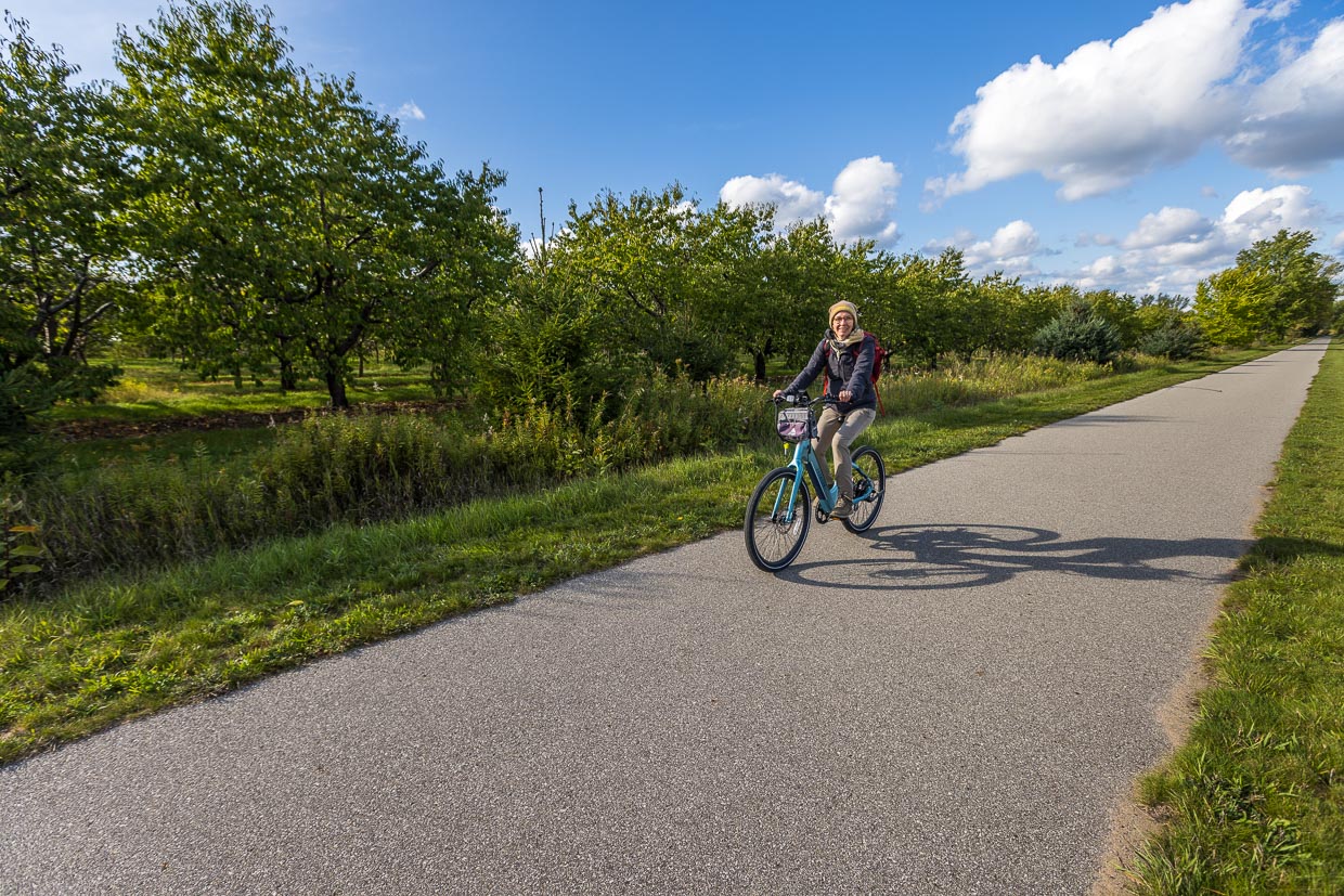
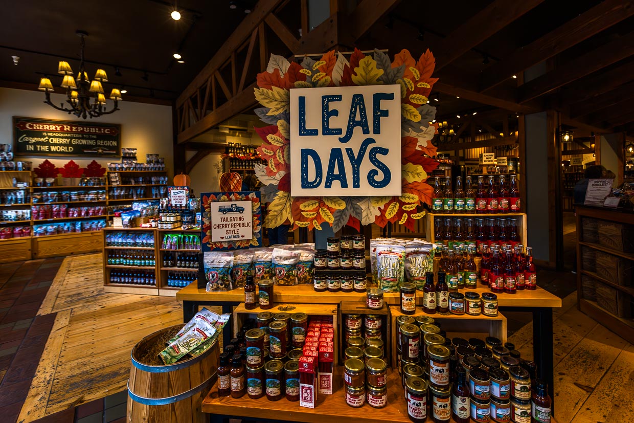
The Leelanau Peninsula is also known as Michigan’s little finger. The last ice age not only carved out the depressions of the Great Lakes, but also created narrow spits of land that protrude into Lake Michigan. They have a favorable microclimate for growing apples and cherries. Michigan is the largest producer of sour cherries in the USA. Even if you are not traveling through Michigan during cherry season, you can find hundreds of cherry-related products in the Cherry Republicstore in Traverse City, for example. The dried Montmorency cherry is a souvenir that fits in every suitcase. And fresh cherry pie is available all year round from the bakery.
The small towns such as Sutton’s Bay, Northport and Glen Haven tell us a lot about the settlement history of this region. The First Nations were already trading furs here. Ruins of sawmills and ship docks bear witness to the time of the first white settlers, who were mainly lumberjacks. The name Traverse City is derived from Grand Traverse Bay. The first people to settle here permanently were First Nations hunters and French traders. La Grand Traverse, refers to the 50 kilometer deep bay that they had to pass by boat to get to the mouth, today’s Traverse City. A lot has happened around Traverse City in the country’s recent history. As a result, the sights and leisure activities here are very close together.
Old Mission Peninsula
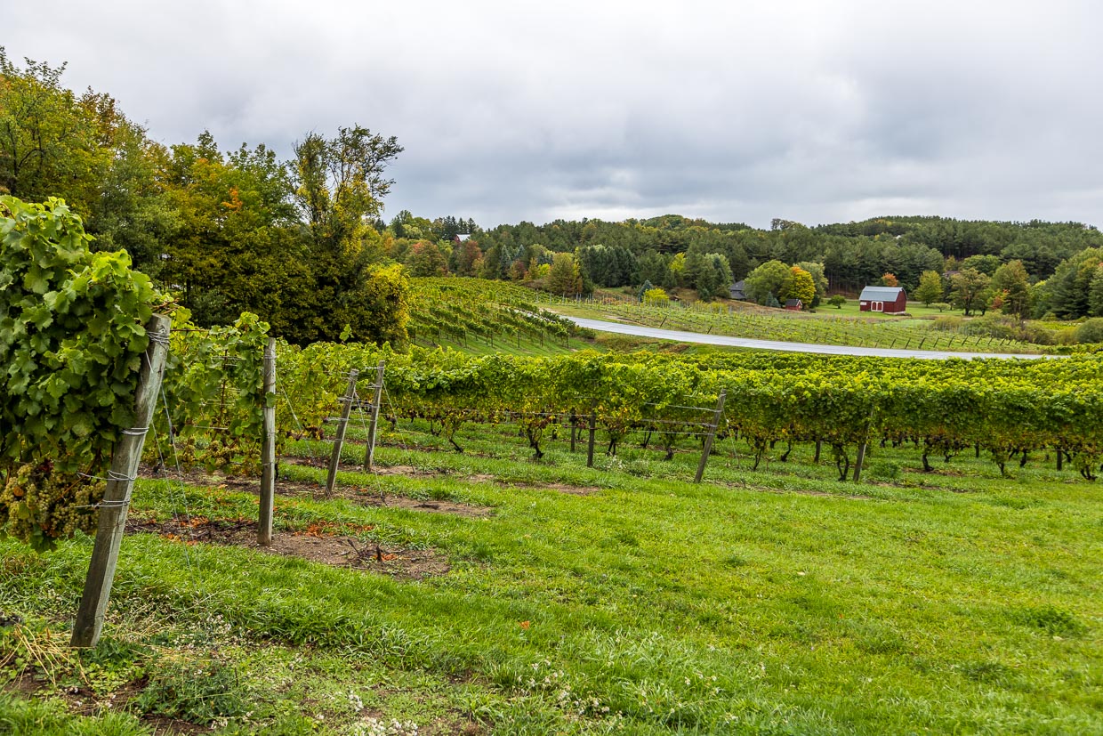
The Old Mission Peninsula divides Grand Traverse Bay into two arms. The peninsula is only 27 kilometers long and so narrow that you have a wonderful view of the lake in many places. For some years now, the microclimate has been attracting more and more winegrowers to the peninsulas along the 45th parallel. Old Mission Peninsula and Leelanau together form the Traverse Wine Coast with 25 wineries. Riesling, Chardonnay, Gewürztraminer, Pinot Gris, Cabernet Franc, Pinot Noir and Merlot are cultivated in the cool, maritime climate of the two peninsulas. The winegrowers offer wine tastings and culinary events throughout the year.
Lighthouses on Lake Michigan
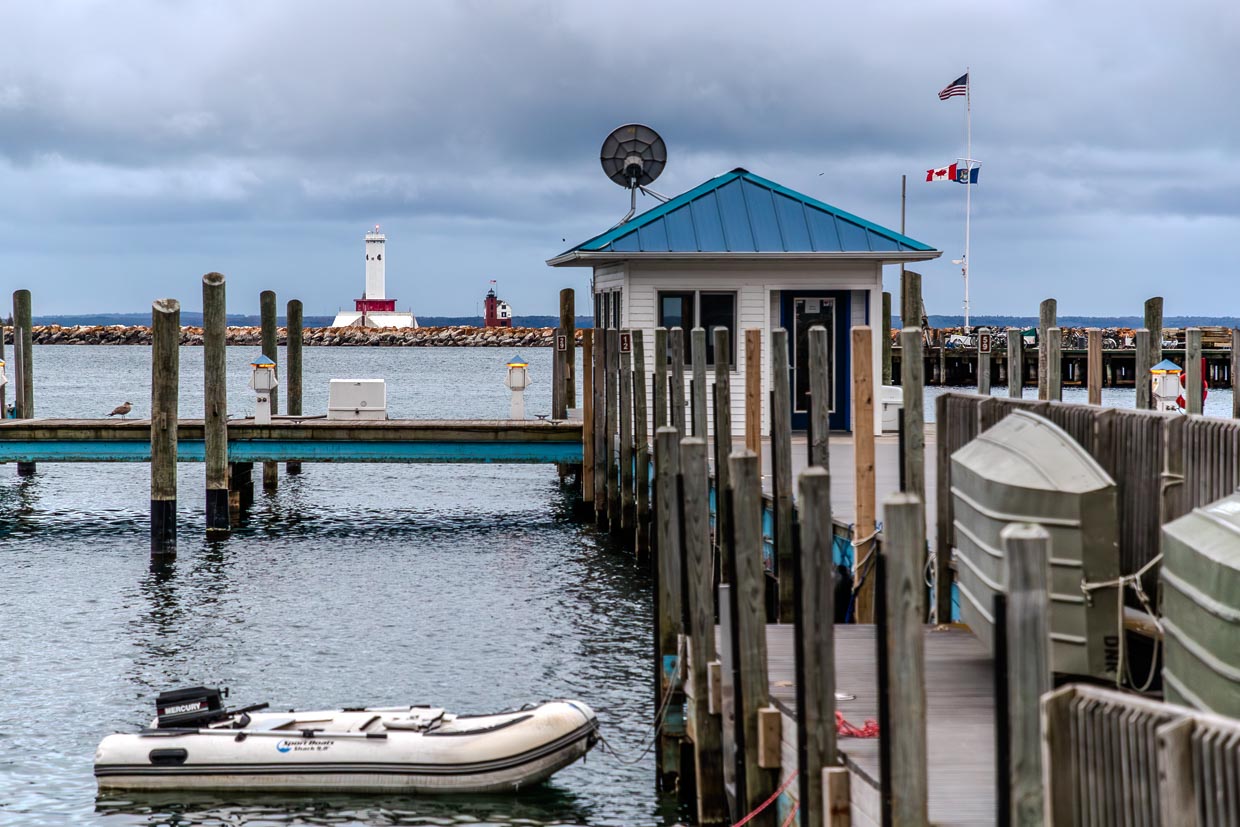
Lake Michigan is as big as a sea and has many maritime characteristics. The lake may lack the salt in the water, but not the lighthouses on the shore. The West Michigan Tourist Association lists 105 lighthouses on its map. The vacation route goes all the way around Lake Michigan. It begins on Michigan’s southern peninsula and passes over the Straits of Mackinac, which connects Michigan’s Lower Peninsula with the Upper Peninsula. The route of the lighthouses continues across the states of Wisconsin and Illinois. At the height of Chicago, one lighthouse follows the next before the route briefly passes through Indiana at the southern end of the lake and then reaches Michigan again.
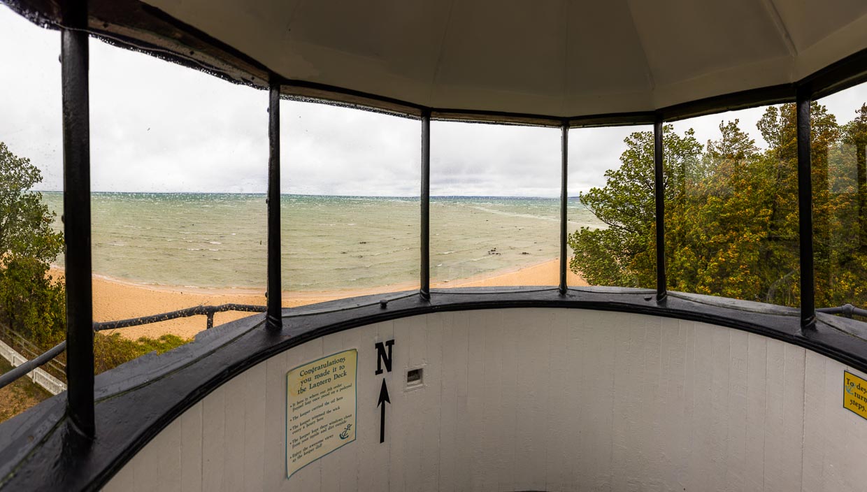
Lighthouses are like masonry witnesses to history. Many are now small museums and tell of the lives of lighthouse keepers, shipwrecks and rescue operations. Mission Point Lighthouse near Traverse City is one of these lighthouses with a history. Why the lighthouse in Grand Traverse County is particularly popular with women is explained in the story about Sarah Lane and the keeper program.
Our journey through Michigan starts in the capital Detroit with classics and new attractions of a city in transition. The huge Michigan Central station, once a ruined line, celebrated its comeback as a research location for mobility in 2023. However, the options for getting around Detroit have long been extremely diverse, as mobility in Motown works pretty well even without a car. The journey continues to Traverse City on Lake Michigan with the Sleeping Bear Dunes National Park. Mission Point Lighthouse is one of these lighthouses with a history. Why the lighthouse in Grand Traverse County is particularly popular with women is explained in the story about Sarah Lane and the keeper program. We continue on to Charlevoix. The town has a maritime flair and lots of stones. There are Petoskey stones on the beach and Earl Young’s famous stone houses in the town. USA without cars? A fact on Mackinac Island. The success story of Michigan’s heavy industry began with a defeat.
The research was supported by Traverse City Tourism and Pure Michigan

